2008.004.280
Map
Presbyterian Missions to the Indian
(Exclusive of Indian Tribes in Alaska)
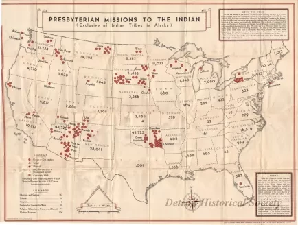
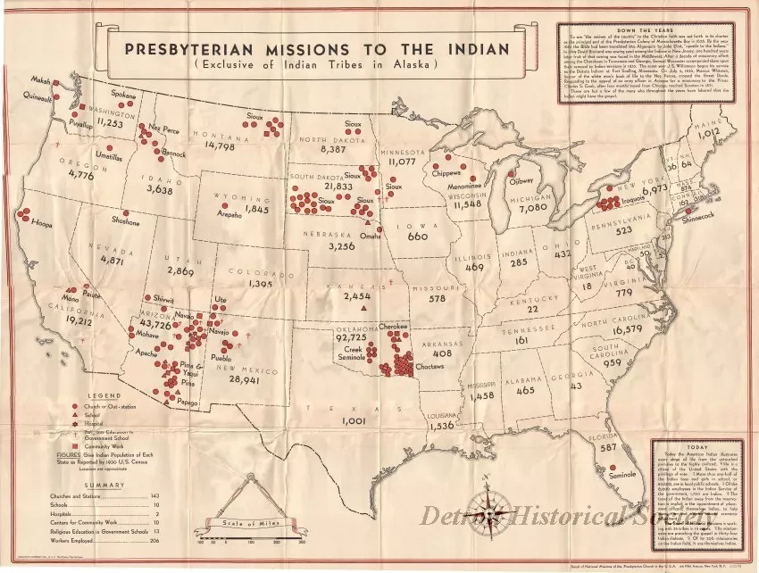
One large map of the United States entitled "Presbyterian Missions to the Indian (Exclusive of Indian Tribes in Alaska)." The map details and text are printed in red and black ink on white paper and show Indian populations by state in 1930 as well as the locations of Presbyterian Church institutions in each state. A symbol legend and bar scale (1 inch = 60 miles) are shown in the lower left corner of the map. A brief history of the Church in America is given in the articles in the upper and lower right corners of the map. The map was compiled by the "Board of National Missions of the Presbyterian Church in the U.S.A." and was dated February 25, 1932.
Request Image

