1964.248.026
Map
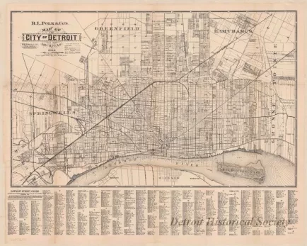
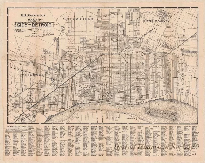
R. L. Polk & Co.'s Map of the City of Detroit, Michigan
One street map entitled "R. L. Polk & Co.'s Map of the City of Detroit, Michigan." The map is printed in black on slightly yellowed paper at an approximate scale of 2.5 inches = 1 mile. It shows streets, street names, city and township boundaries, section numbers, streetcar routes, and railroads. The map was printed by "R. L. Polk & Company" and is dated 1903. An alphabetical listing of streets is shown along the bottom of the map.
Request Image


