Map
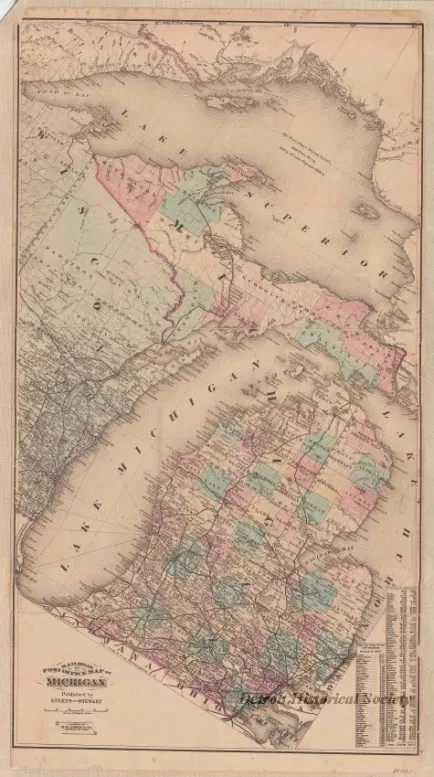
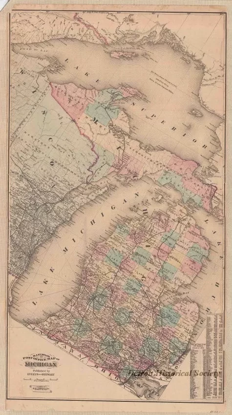
Railroad and Post Office Map of Michigan
One map entitled "Railroad and Post Office Map of Michigan." The multicolor map shows the Lower and Upper Peninsulas of Michigan including counties, towns, cities, lakes, and railroad lines. The map orientation on the paper is unusual since the north line has been turned approximately 30 degrees to the right. Presumably, this was done in order to fit both peninsulas onto a smaller rectangular sheet of paper and to avoid the need for a separate inset map of all or part of the Upper Peninsula. The map also shows the base line and principal meridian for the state survey along with township and range numbers and township boundaries. A population summary for cities and towns as of 1870 is shown in the lower right corner. A summary of county populations for 1860 and 1870 is also shown. The map was prepared by "H. H. Lloyd & Co., 21 John St., New York," and was published by "Everts and Stewart." It is drawn at an approximate scale of 1 inch = 20 English miles.
Request Image

