2014.002.509
Map
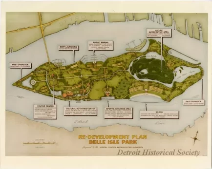
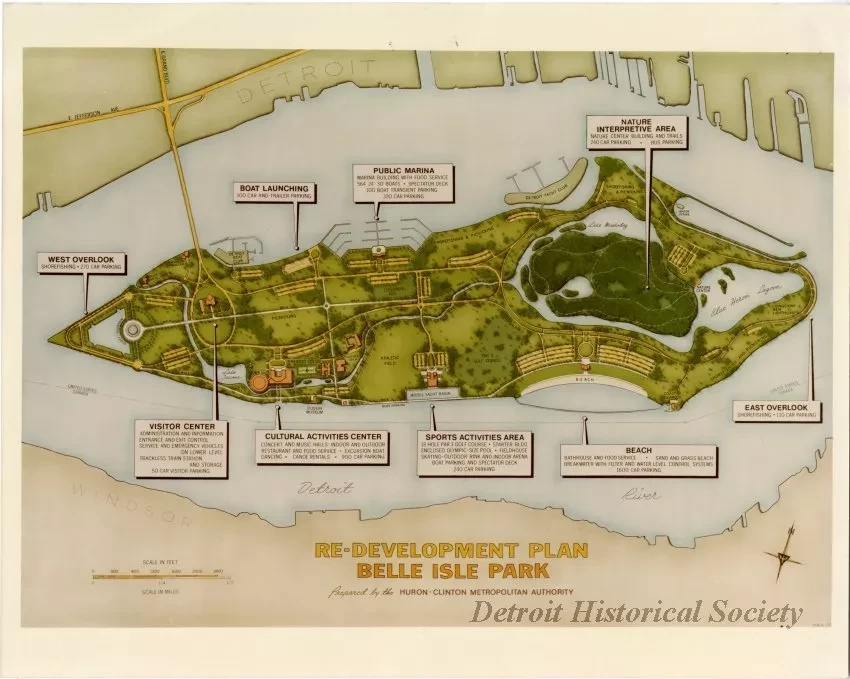
Re-Development Plan, Belle Isle Park, Prepared by the Huron-Clinton Metropolitan Authority
Color print on glossy photo paper of a map of a proposed redesign of Belle Isle by the Huron-Clinton Metropolitan Authority. The map features text boxes indicating new features proposed in the plan, including a Visitor Center, the West Overlook, a boat launching area, the Cultural Activities Center, the Public Marina, the Sports Activities Area, a new beach, the East Overlook, and a Nature Interpretive Area.
Request Image

