Map
Road Map of Wayne County
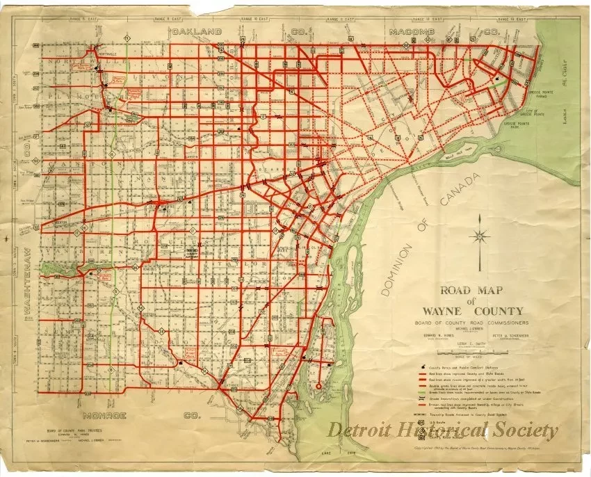
Map, "Road Map of Wayne County," published in 1935 by the Board of Wayne County Road Commissioners. The map depicts the entirety of Wayne County, with various types of roads marked in red, green, and grey lines as denoted by the legend on the bottom right. County Parks, U.S. Routes, State Trunk Lines, and County Road Numbers are also indicated on the map. The perimeter of the indicates the coordinates for towns south and ranges east, which are used to designate survey townships. The title block and legend in the lower right corner also contains the scale used for distance and a listing of the Board of Wayne County Road Commissioners, as follows: Michael J. O'Brien, Chairman, Edward N. Hines, Vice Chairman, Peter M. Schoenherr, Commissioner, and Leroy C. Smith, Engineer-Manager. The bottom left corner of the map contains the names of the Board of County Park Trustees, as follows: Edward N. Hines, Chairman, Peter M. Schoenherr, Trustee, and Michael J. O'Brien, Secretary.
Request Image

