1959.319.003a
Map
State of Michigan
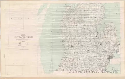
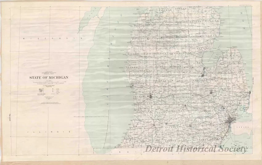
One map of a two-sheet set entitled, "State of Michigan." The map (Southern Michigan) is printed in blue and black text on a white background and shows cities, towns, counties, railroad lines, lakes, and rivers as of 1957. Lines of latitude and longitude are also shown. The map was originally compiled in 1932 by A. F. Hassan, Cartographic Engineer, of the United States Department of the Interior, Geological Survey at a scale of 1:500,000.
Request Image


