2012.004.043
Map
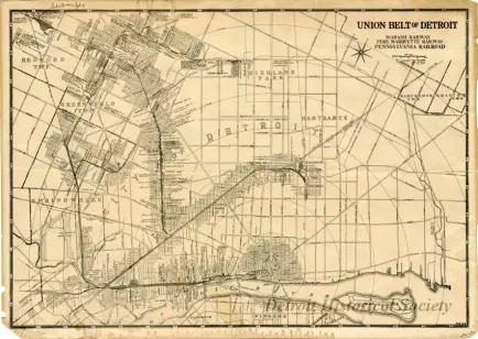
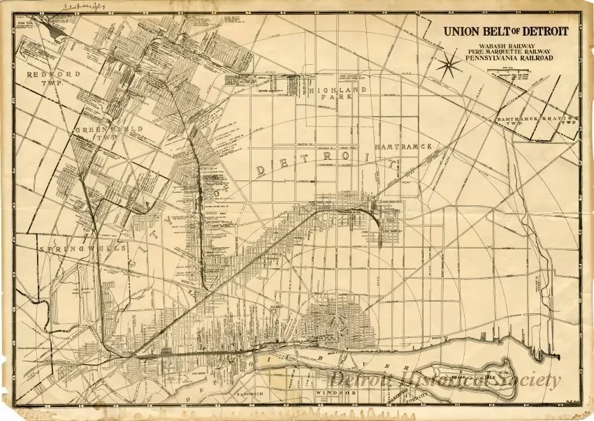
Union Belt of Detroit
Map, "Union Belt of Detroit," first printed November 20, 1929, and revised March 15, 1932 and May 15, 1938. The map shows the rail lines of the Wabash Railway, Pere Marquette Railway, and Pennsylvania Railroad and also shows rail yards, depots, and industries served along the rail lines. The map also features concentric circles emanating from the point of origin in Campus Martius and radiating out in mile long increments.
Request Image

