1941.054.009
Map
Wards and Election Districts - City of Detroit
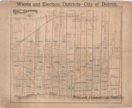
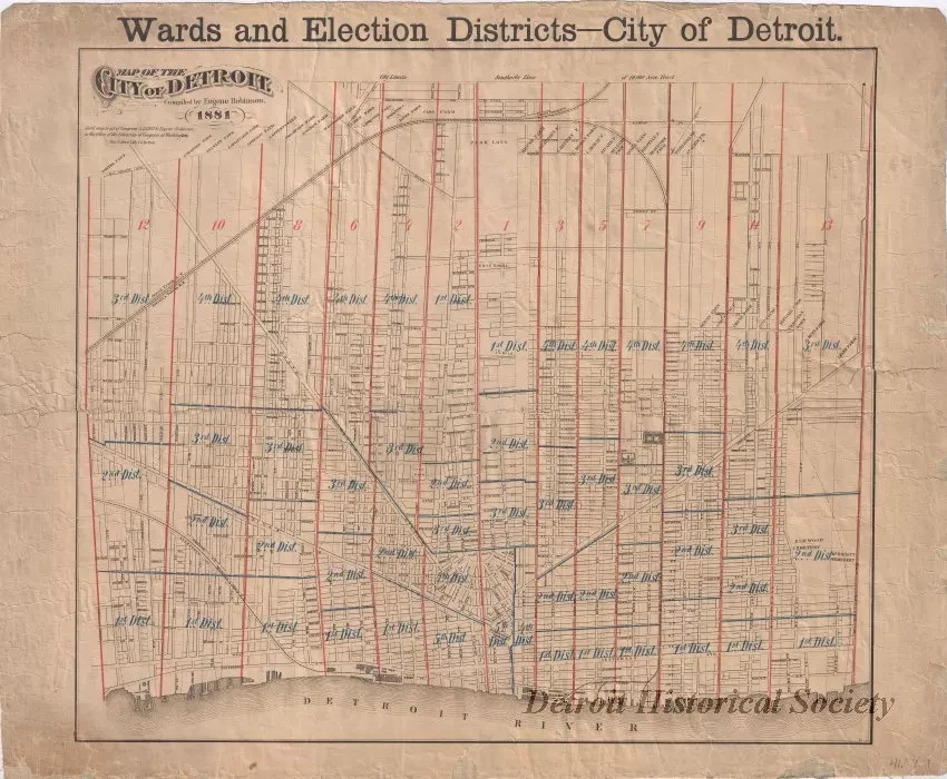
One map entitled "Wards and Election Districts - City of Detroit. The map is printed in black, blue, and red ink and shows city streets along with ward and election district boundary lines and numbers. Although a symbol key is not given, it appears that ward boundary lines and numbers are shown in red ink and election district boundary lines and numbers are shown in blue ink. The map was "compiled by Eugene Robinson" and is dated 1881. It was printed by the Calvert Lithograph Company of Detroit.
Request Image

