2012.046.096
Map
WJLB International Radio News Map 3rd Edition
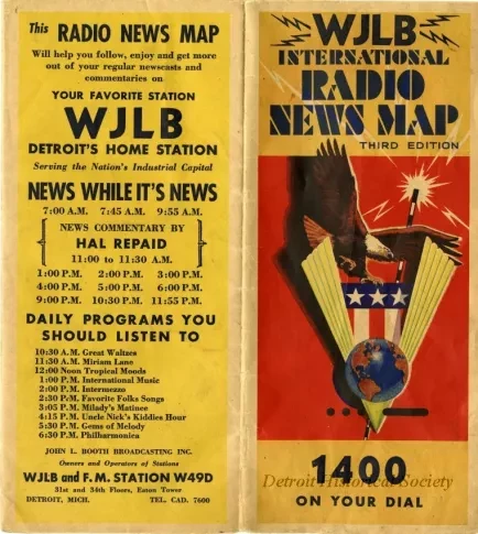
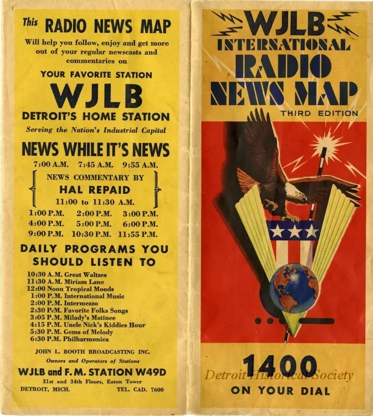
Map published by WJLB showing World War II alliances. The large interior map show the world, with inserts concerning the range of military ships and planes, the United Nations, and a timeline of territorial changes and war declarations. The outside has three smaller map showing troop movements in southern Europe, North Africa, southern Asia, the Pacific islands, and the Russo-German front. Folded, the map's cover shows an eagle swooping atop the letter V with a globe and Morse code for "V," in the foreground and a radio antenna and stars and stripes in the background. "1400 On Your Dial," is printed at the bottom. The back cover of the map bears a WJLB schedule.
Request Image

