2014.036.050
Print, Photographic
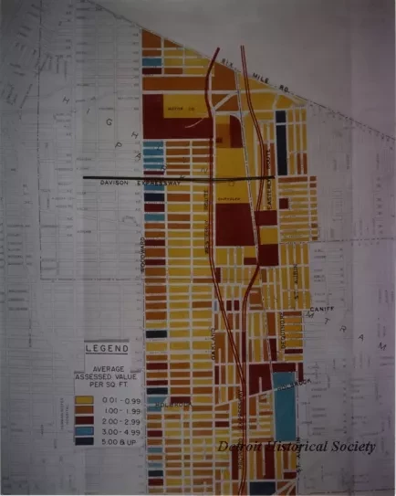
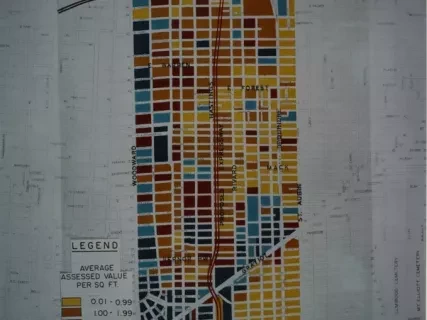
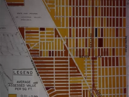
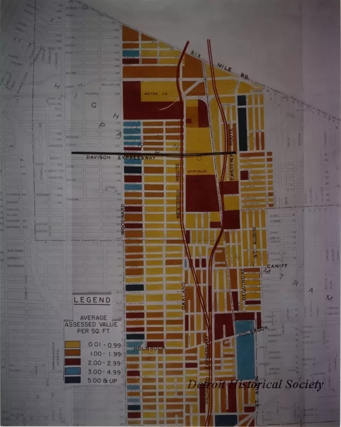
Color photo depicting a map showing assessed land values along the corridor of the proposed Chrysler Freeway between St. Aubin Street and Woodward Avenue, from Six Mile Road to Bethune Avenue.
Dated 6-12-1956.


