2014.036.051
Print, Photographic
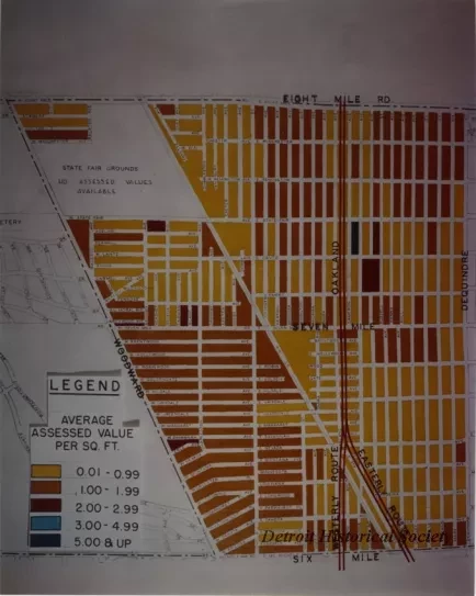
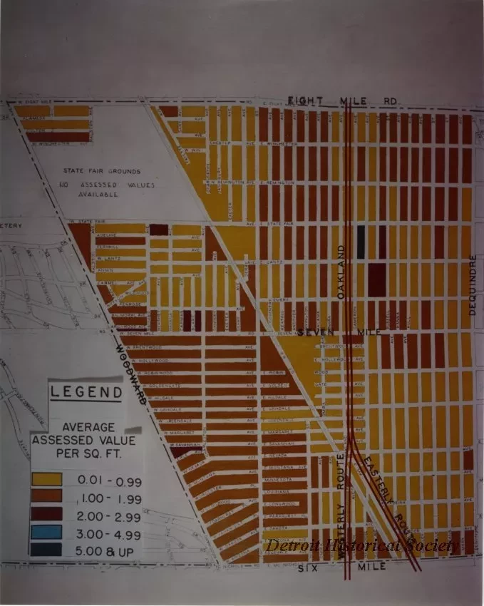
Color photo depicting a map showing assessed land values along the corridor of the proposed Chrysler Freeway between Woodward Avenue and Dequindre, from Six Mile Road to Eight Mile Road. To the left are the State Fair Grounds and Palmer Park.
Dated 6-12-1956.


