2016.072.097
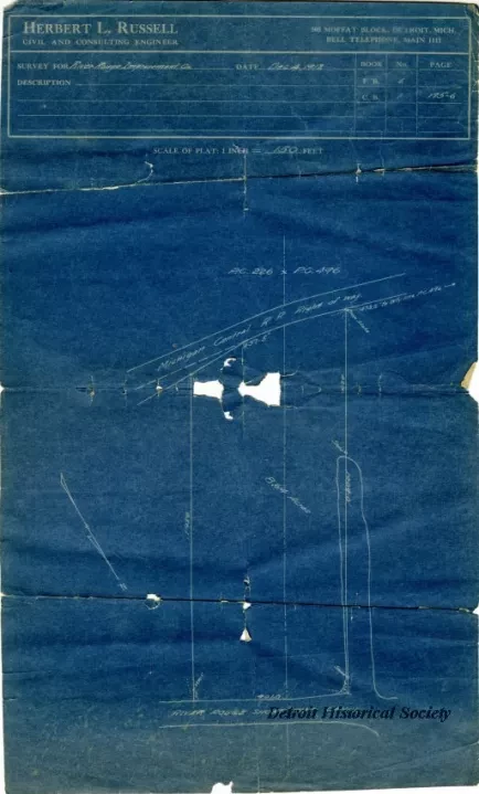
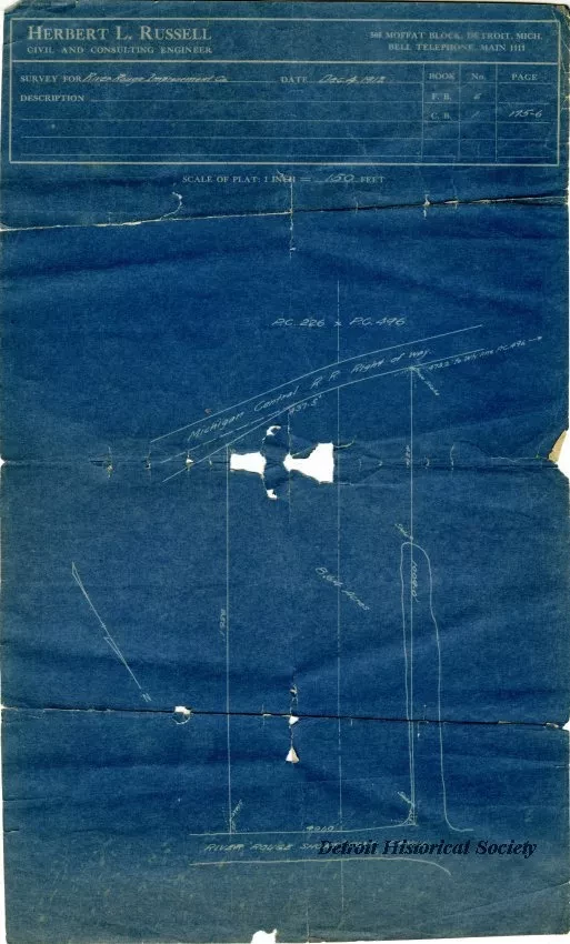
Blueprint
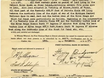
Discharge of Mortgage
One blueprint drawing showing a survey for the "River Rouge Improvement Co." The drawing shows a boundary survey for an 8.64-acre land parcel that was part of Private Claims 226 and 496. The parcel abuts a Michigan Central Railroad right-of-way and the River Rouge Short Cut Canal. The drawing was prepared by "Herbert L. Russell, Civil and Consulting Engineer" at a scale of 1 inch = 150 feet and was dated December 4, 1912.
Request Image


