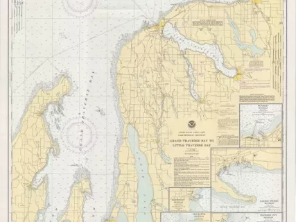
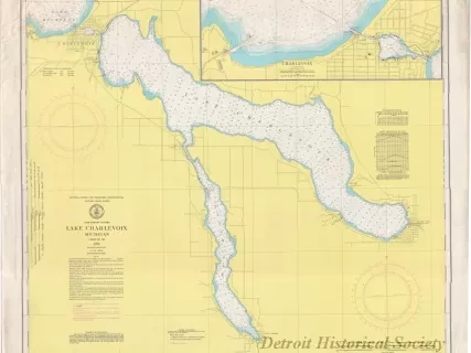
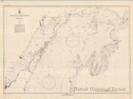
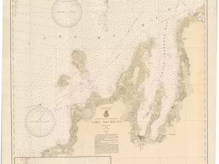
Chart, Navigational
Green Bay
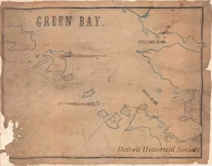
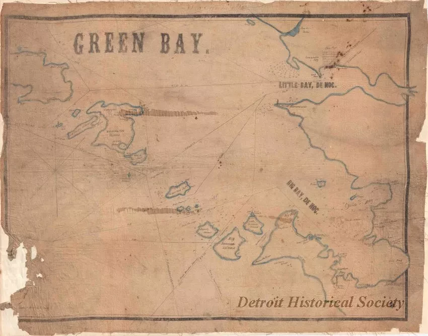
One navigational chart entitled, "Green Bay," that was probably compiled and drawn by a ship captain. The chart is hand-drawn in black ink on linen and shows the various islands at the north end of Green Bay, Wisconsin, as well as Little Bay de Noc, the City of Escanaba, and Big Bay de Noc on the south shore of the Upper Peninsula of Michigan. Shorelines are colored with a wide line of light blue ink. A compass rose is shown at the left side of the chart and shows that north is oriented toward the right side of the sheet. The chart shows island names, water depths, ship passage lines and course bearings. Areas of deep water and shoal water are also noted. Several lighthouses are shown on the islands and mainland including Pilot Island, Rock Island, Sand Point, and Peninsular Point. A note in the lower left corner shows "Scale 1/2 inch to a Mile." Faint handwriting at the top center edge of the sheet appears to show "Schr. Wayandotte [Schooner Wyandotte]."
Request Image