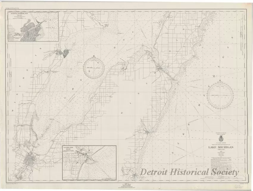
Chart, Navigational
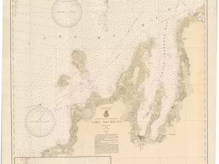
Lake Michigan
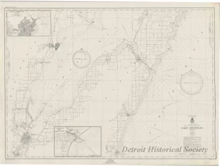
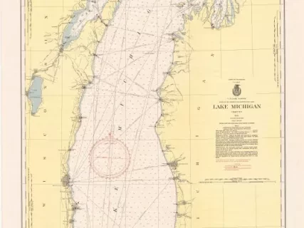
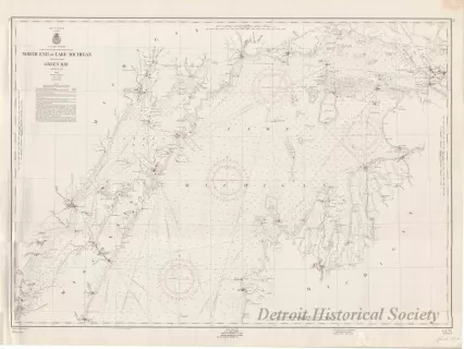
One navigational chart entitled, "Lake Michigan," that was compiled and published as part of the Survey of the Northern and Northwestern Lakes (Department of the Army, Corps of Engineers). The chart (No. 703) is a polyconic projection and is drawn at a scale of 1:80,000. It shows the northwest portion of Lake Michigan along the Wisconsin shoreline including the Cities of Kewaunee, Algoma, Sturgeon Bay, Green Bay, and Oconto. Inset charts of the harbors at Oconto and Algoma are shown on the left side of the sheet. Chart text and details are printed in black ink on white paper. Water depths are shown in feet. Distances are given in statute miles. Other details include lines of latitude and longitude, course bearings, and distances. Printed text in the lower left corner shows "Edition of October, 1947."
Request Image