1960.001.078
Chart, Navigational
Saut de Ste. Marie
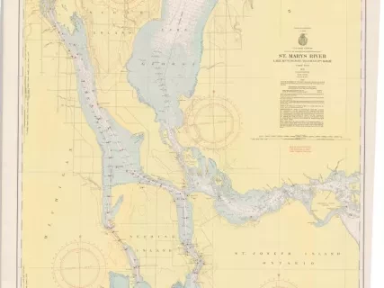
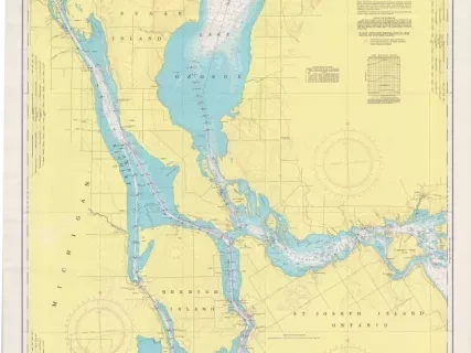
Hand-drawn navigational chart of the St. Mary's River and locks at "Saut de Ste. Marie" (Sault St. Marie), Michigan. The chart is drawn in black and blue ink on white linen. It is drawn at a scale of 1:15,840 (four inches = 1 mile) and shows the approach and outlet areas of the Sault Locks as well as the waterfront of Sault Ste. Marie, Michigan. The chart includes water depths in feet, depth contour lines, river bottom characteristics, shorelines, a railroad, and streets. Some red, blue, and brown coloring is shown for land features. An accompanying legend near the lower left corner shows "Blue, RRd. [Railroad]" and "Red, PL Co. [Public Lighting Company?]"
Request Image


