Chart, Navigational
St. Mary's River,
Lake Munuscong to Sault Ste. Marie Including Lake George
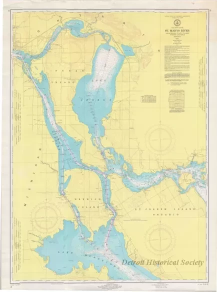
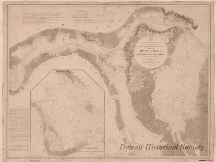
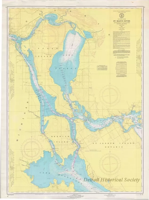
One navigational chart entitled, "St. Mary's River, Lake Munuscong to Sault Ste. Marie Including Lake George," that was published by the National Oceanic and Atmospheric Administration (NOAA), Lake Survey Center The chart (No. 62) is a polyconic projection and is drawn at a scale of 1:40,000. It shows the St. Mary's River from Sault Ste. Marie at the top of the chart down to Lake Munuscong at the bottom. Land areas are shaded in pale yellow. Lake and river areas are shown in white and light blue depending upon water depths which are shown in feet. Distances are given in statute miles. Lines of latitude and longitude are shown in black. Course bearings are shown along with navigational range markers. Lighthouses and buoys are also noted. Printed text in the lower left corner shows "Edition of April, 1974." The verso shows a map of the Great Lakes region in light gray along with chart numbers and areas of coverage.
Request Image