Map
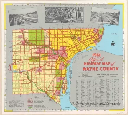
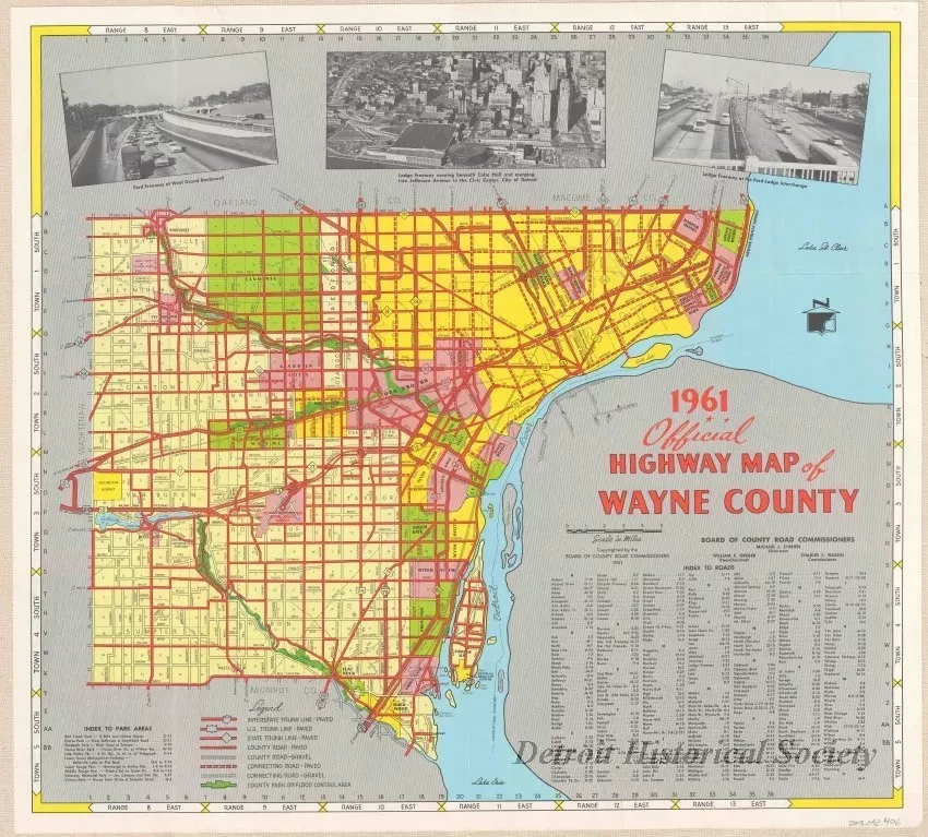
1961 Official Highway Map of Wayne County
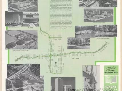
One map entitled "1961 Official Highway Map of Wayne County." The map is printed in color and shows the major highways and section roads as well as cities and townships in the county. The Lodge Freeway and Interstate 94 (I-94) are shown and also a small portion of Interstate 75 (I-75). Three black and white pictures at the top of the map show views of the Ford Freeway (I-94), downtown Detroit, and the Ford-Lodge interchange. An "Index to Roads" is shown in the lower right corner area of the sheet. Township and range numbers are shown along the outer map border. The map was prepared by the Board of County Road Commissioners at a scale of 1 inch = 2 miles and is dated 1961. Images and text on the map verso are shown under object number 2013.049.388.
Request Image


