2013.049.383
Map
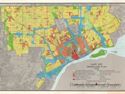
Land Use - Generalized Plan
One map entitled "Land Use - Generalized Plan." The multicolor map of the city shows streets, major roads, and the allowed types of land uses. A color key legend in the lower right corner of the sheet corresponds with the different colored areas that are shown on the map. The map was prepared by the City of Detroit, City Plan Commission at an approximate scale of 1 inch = 1/2 miles and is dated February 15, 1950.
Request Image


