Map
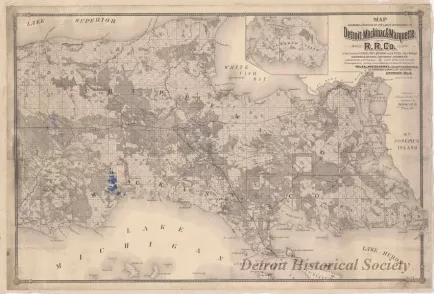
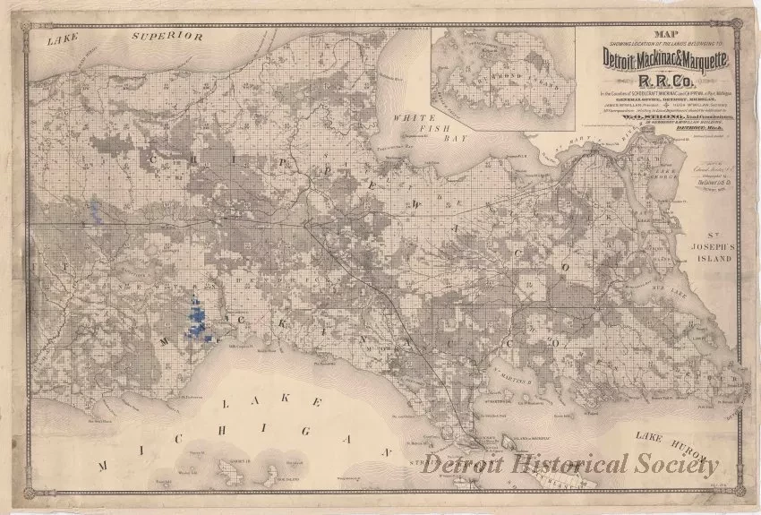
Map Showing Location of the Lands Belonging to Detroit, Mackinac & Marquette R.R. Co. in the Counties of Schoolcraft, Mackinac and Chippewa, in Part, Michigan.
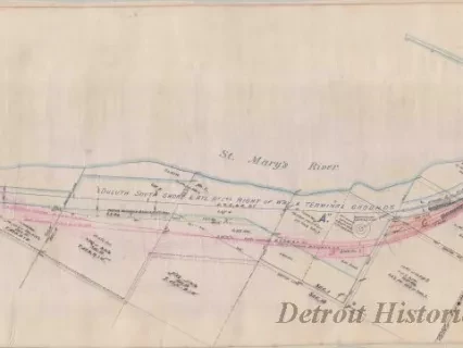
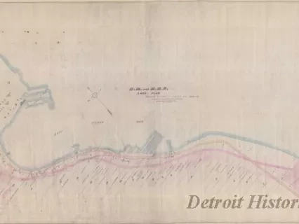
One map entitled "Map Showing Location of the Lands Belonging to Detroit, Mackinac & Marquette R.R. Co. in the Counties of Schoolcraft, Mackinac and Chippewa, in Part, Michigan." The map shows the eastern half of the Upper Peninsula of Michigan including cities, towns, railroad lines, counties, township and range numbers, section lines, and section numbers. Map details and text are printed in black on slightly yellowed paper. A line has been sketched lightly in red pen on the map from Sault Ste. Marie to the southwest which depicts the M.S.S. & A.R.R. (Minneapolis, Sault Ste. Marie & Atlantic Railroad) line. Also, several townships have been colored with blue pencil on the west side of Mackinac County. Printed text beneath the title shows "James McMillan, President," and "Hugh McMillan, Secretary" with "W. O. Strong, Land Commissioner, Detroit, Mich." The map was "drawn by Edward Moliter" and "lithographed by The Calvert Lith. Co., Detroit, Mich."
Request Image