1960.001.080
Map
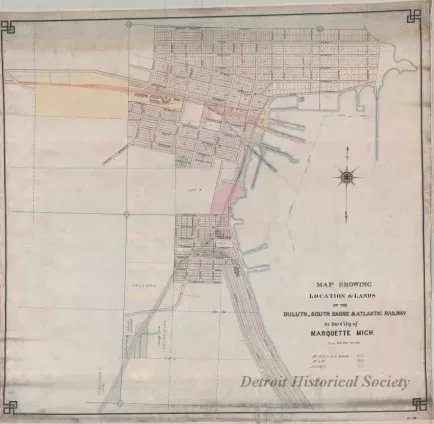
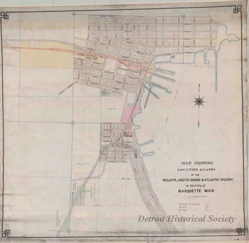
Map Showing Location & Lands of the
Duluth, South Shore & Atlantic Railway in the City of Marquette, Michigan
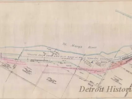
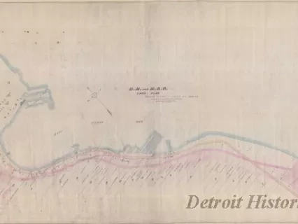
One drawing entitled "Map Showing Location & Lands of the Duluth, South Shore & Atlantic Railway in the City of Marquette, Michigan." The map consists of red, blue, and black ink on linen and shows the section lines, section numbers, street names, subdivision names, and lot numbers in the City of Marquette. Properties owned by various railroad companies are tinted in yellow, red, and blue according to a corresponding legend. The map is drawn at a scale of 1 inch = 300 feet and has a decorative black border. The name of the draftsman is not indicated and no date is shown.
Request Image