Digital Collection: Archive
16885 Results Found

Map
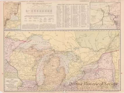
The Rand-McNally New Commercial Atlas of the Great Lakes and Vicinity,
Showing the Navigation Routes, Connecting Railroads and Principal Ports
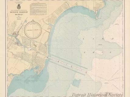
Chart, Navigational
Monroe Harbor, Michigan
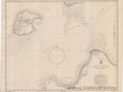
Chart, Navigational
Manitou Passage, Lake Michigan
Chart, Navigational
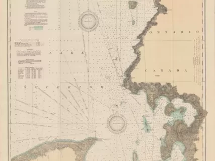
East End of Lake Superior - From Cape Gargantua. Ont., to Mouth of Big Two Hearted River, Mich., Including Whitefish Bay and Head of St. Mary's River
Chart, Navigational
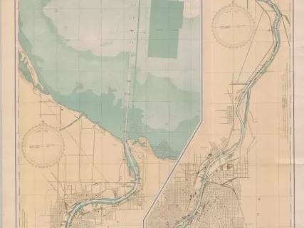
Saginaw River, Michigan
Chart, Navigational
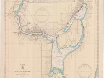
Keweenaw Waterway, Michigan,
Including Torch Lake
Chart, Navigational
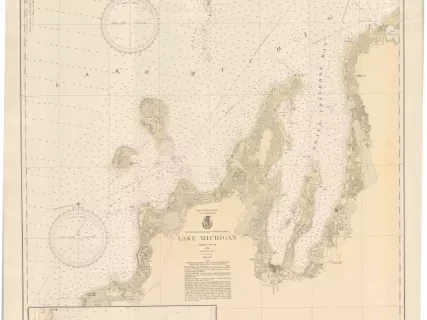
Lake Michigan
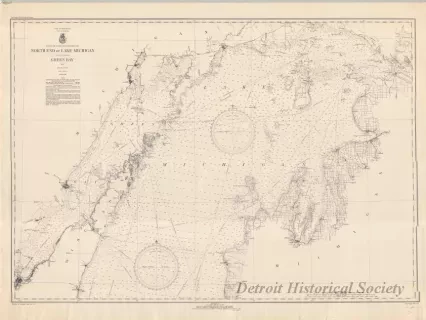
Chart, Navigational
North End of Lake Michigan,
Including Green Bay
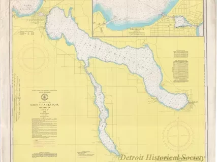
Chart, Navigational
Lake Charlevoix, Michigan
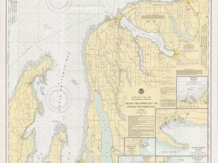
Chart, Navigational
Grand Traverse Bay to Little Traverse Bay
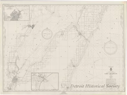
Chart, Navigational
Lake Michigan