Cram, Thomas Jefferson
Related Records
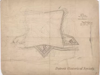
![Map - Tracing from a Map of Springwells by Lieuts. Macomb & Warner, T.E. [Topographical Engineers], 1841, with the Addition of Outlines of Fort Wayne and Public Grounds, Sept., 1865.](/sites/default/files/styles/430x323_1x/public/artifact-media/168/2013042418.jpg.webp?h=6919c4ee&itok=K5gn6P6-)
Map
2013.042.418Archive
Tracing from a Map of Springwells by Lieuts. Macomb & Warner, T.E. [Topographical Engineers], 1841, with the Addition of Outlines of Fort Wayne and Public Grounds, Sept., 1865.
Drawing, Architectural
2013.049.159Archive
No. XII, Fort Wayne,
Plan and Sections of Exterior Batteries
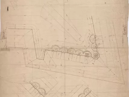
Drawing, Architectural
2013.049.161Archive
No. 8, Fort Wayne,
Plan Showing the Position & Details of Platforms for Barbette Guns
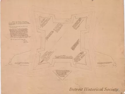
Drawing, Architectural
2013.049.165Archive
Sketch of Fort Wayne,
Showing the Condition of its Non-Armament, June 30th, 1869, in Response to Circular from Office of the Chief of Engineers, May 25th, 1869.
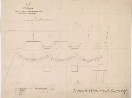
Drawing, Architectural
2013.049.168Archive
No. 7, Fort Wayne,
Sketch Showing Traverse Irons & Stones in the Flank Casemates
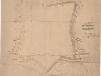
Drawing, Architectural
2013.049.173Archive
Fort Wayne, Sketch Showing Method of Connecting the Existing and New Glacis and Covering Masses.
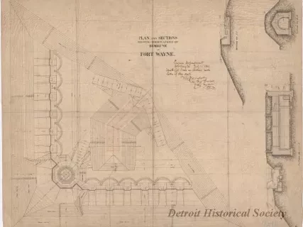
Drawing, Architectural
2013.049.174Archive
Plan and Sections Showing Modifications of Demilune at Fort Wayne
