2013.049.142
Blueprint
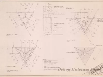
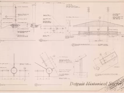
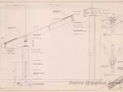
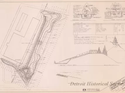
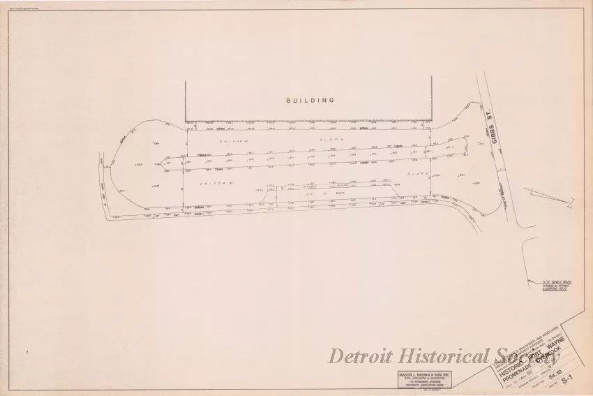
Historic Fort Wayne, Promenade/Overlook
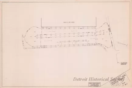
One blueprint drawing entitled "Historic Fort Wayne, Promenade/Overlook." The drawing (Sheet No. S-1) shows a survey of an existing berm that is located south of Gibbs Street and east of the CRC building. Spot elevations and dimensions are also shown on the survey. An existing hydrant benchmark elevation is shown on the right side of the plan sheet. A title block in the lower right corner indicates that the plan was prepared by Charles Terrence McCafferty and Associates at a scale of 1 inch = 40 feet and was dated June 27, 1984.
Request Image