1968.123.004
Lithograph
St. Mary's Falls Canal
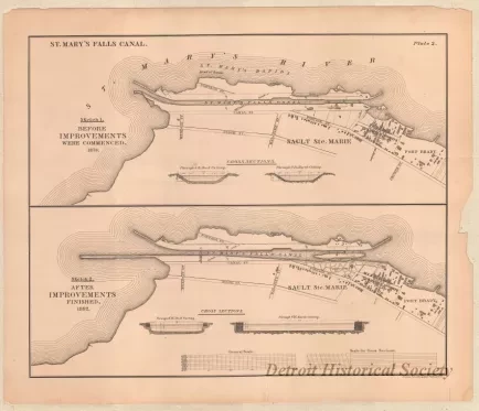
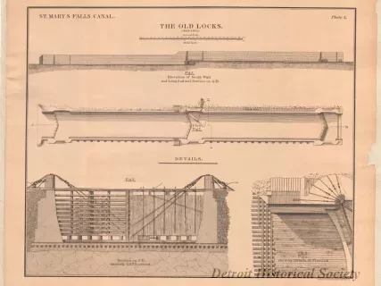
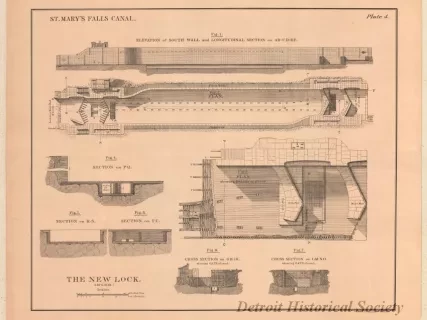
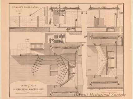
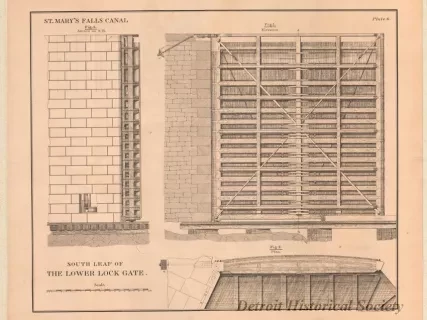
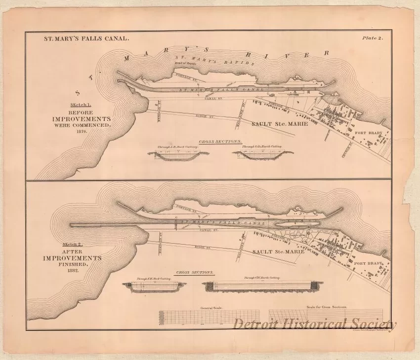
Plan sheet (sheet 4 of 17) from a set of lithographs that shows the St. Mary's Falls Canal & Locks. This sheet, Plate 2, is entitled "St. Mary's Falls Canal." The drawing is shown at a scale of 1" = 400 feet and shows a map of the canal as well as the streets near the waterfront in Sault Ste. Marie, Michigan. Sketch 1 depicts the canal configuration "Before Improvements Were Commenced, 1870" and Sketch 2 shows the configuration "After Improvements Finished, 1882." The map details and text are printed in black ink on slightly yellowed paper that has a black borderline. Small printed text at the lower right corner shows "N. Peters. Photo-Lithographer, Washington, D.C."
Request Image