You searched for "Corps of Engineers"
241 Results Found
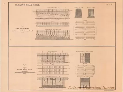
Lithograph
1968.123.015Archive
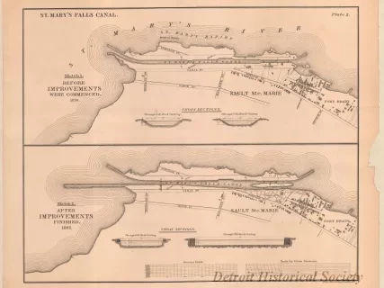
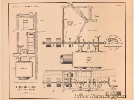
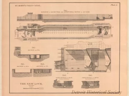
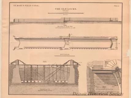
St. Mary's Falls Canal,
Figure 1, Pier Revetment.
Figure 2, Crib in South West Pier
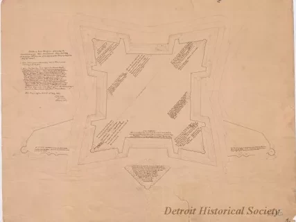
Drawing, Architectural
2013.049.165Archive
Sketch of Fort Wayne,
Showing the Condition of its Non-Armament, June 30th, 1869, in Response to Circular from Office of the Chief of Engineers, May 25th, 1869.
![Map - Tracing from a Map of Springwells by Lieuts. Macomb & Warner, T.E. [Topographical Engineers], 1841, with the Addition of Outlines of Fort Wayne and Public Grounds, Sept., 1865.](/sites/default/files/styles/430x323_1x/public/artifact-media/168/2013042418.jpg.webp?h=6919c4ee&itok=K5gn6P6-)
Map
2013.042.418Archive
Tracing from a Map of Springwells by Lieuts. Macomb & Warner, T.E. [Topographical Engineers], 1841, with the Addition of Outlines of Fort Wayne and Public Grounds, Sept., 1865.
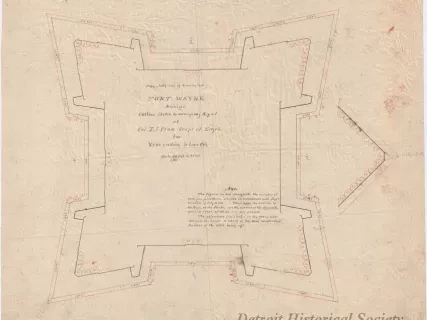
Drawing, Architectural
2013.049.163Archive
Fort Wayne, Michigan,
Outline Sketch to Accompany Report of Col. T. J. Cram,
Corps of Engineers for Year Ending 30 June 1864
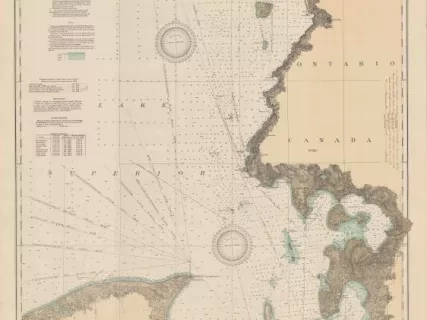
Chart, Navigational
2013.042.917Archive
East End of Lake Superior - From Cape Gargantua. Ont., to Mouth of Big Two Hearted River, Mich., Including Whitefish Bay and Head of St. Mary's River
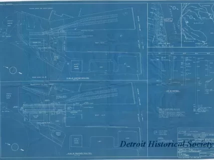
Blueprint
2013.049.125Archive
Detroit Boat Yard -
Modification of Existing Facilities;
Plans, Location & Vicinity Maps
