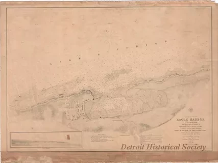
You searched for "Navigational Charts"
69 Results Found
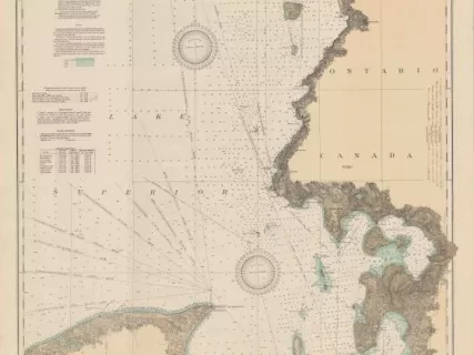
Chart, Navigational
2013.042.917Archive
East End of Lake Superior - From Cape Gargantua. Ont., to Mouth of Big Two Hearted River, Mich., Including Whitefish Bay and Head of St. Mary's River
![Map - Plan Topographique du Détroit et des eaux qui forment la jonction du Lac Erié avec le Lac St. Clair
[Topographic plan of Detroit and the waters which form the junction of Lake Erie with Lake St. Clair]](/sites/default/files/styles/430x323_1x/public/artifact-media/221/2014004077.JPG.webp?h=e6f96c9a&itok=6_zxz_O6)
Map
2014.004.077Archive
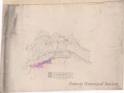
Plan Topographique du Détroit et des eaux qui forment la jonction du Lac Erié avec le Lac St. Clair
[Topographic plan of Detroit and the waters which form the junction of Lake Erie with Lake St. Clair]
![Blueprint - Plan Topographique du Détroit et des eaux qui forment la jonction du Lac Erié avec le Lac St. Clair
[Topographic plan of Detroit and the waters which form the junction of Lake Erie with Lake St. Clair]](/sites/default/files/styles/430x323_1x/public/artifact-media/182/2013049002.jpg.webp?h=380d14e7&itok=Y-lgr0_P)
Blueprint
2013.049.002Archive
Plan Topographique du Détroit et des eaux qui forment la jonction du Lac Erié avec le Lac St. Clair
[Topographic plan of Detroit and the waters which form the junction of Lake Erie with Lake St. Clair]
![Map - Plan Topographique du Détroit et des eaux qui forment la jonction du
Lac Erié avec le Lac St. Clair
[Topographic plan of Detroit and the waters which form the junction of
Lake Erie with Lake St. Clair]](/sites/default/files/styles/430x323_1x/public/artifact-media/166/2013042241.jpg.webp?h=1c4f1430&itok=F_OLdfyO)
Map
2013.042.241Archive
Plan Topographique du Détroit et des eaux qui forment la jonction du
Lac Erié avec le Lac St. Clair
[Topographic plan of Detroit and the waters which form the junction of
Lake Erie with Lake St. Clair]
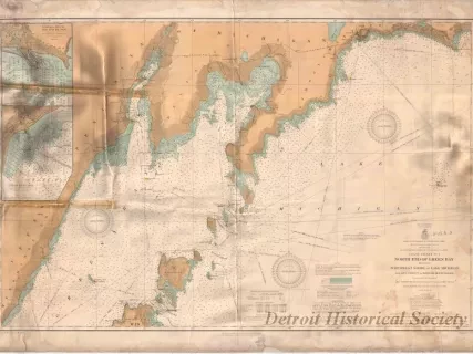
Chart, Navigational
W1956.003.003Archive
Coast Chart No. 1,
North End of Green Bay Including Northwest Shore of Lake Michigan
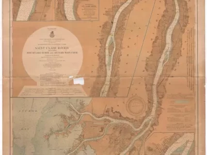
Chart, Navigational
2013.042.109Archive
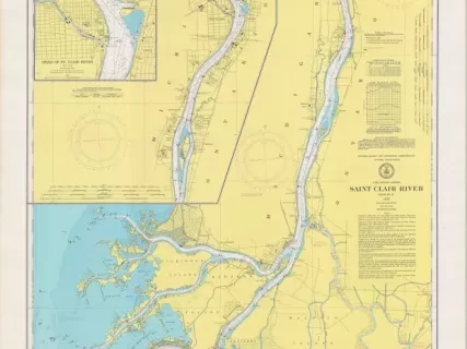
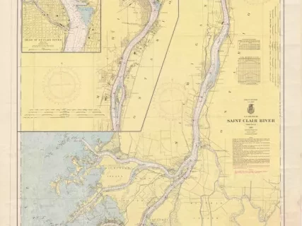
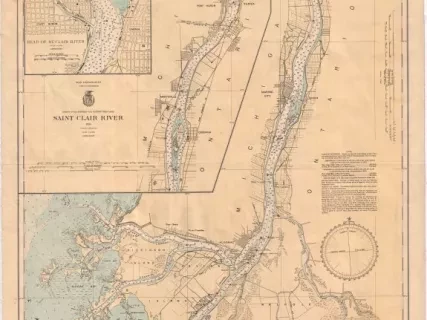
St. Clair River Including
Foot of Lake Huron and St. Clair Flats Canal
![Chart, Navigational - Coast Chart No. 3, Lake Huron
Tawas Harbor to Rogers [City], Michigan](/sites/default/files/styles/430x323_1x/public/artifact-media/163/2007004445.jpg.webp?h=571406b0&itok=F6q5hbkD)
Chart, Navigational
2007.004.445Archive
Coast Chart No. 3, Lake Huron
Tawas Harbor to Rogers [City], Michigan
