You searched for "PM"
47209 Results Found
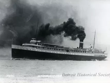
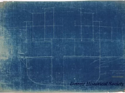
Print, Photographic
W1960.010.071Photo
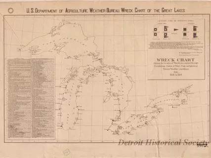
Chart, Informational
W1959.010.008aArchive
U.S. Department of Agriculture, Weather Bureau. Wreck Chart Showing the Location of Wrecks Occasioned through Founderings, Gales of Wind, Fogs, and General Stormy Weather Conditions from 1886 to 1891.
Chart, Navigational
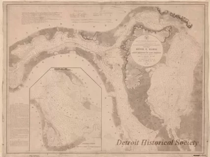
W1959.010.003Archive
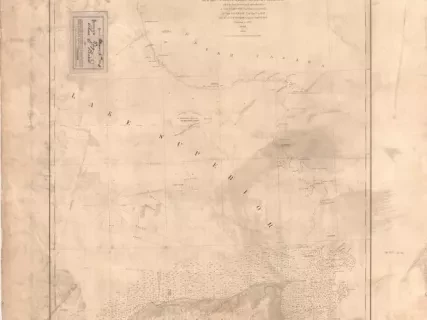
Chart No. 1 of River Ste. Marie from
Point Iroquois to East Neebish
Lithograph
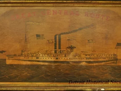
W1958.004.004Object
Chart, Navigational
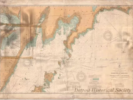
W1956.003.003Archive
Coast Chart No. 1,
North End of Green Bay Including Northwest Shore of Lake Michigan
Chart, Navigational
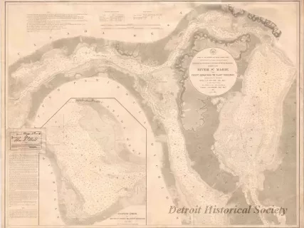
W1954.012.009Archive
Chart No. 1 of River Ste. Marie from
Point Iroquois to East Neebish
