2013.049.106
Blueprint
Historic Fort Wayne
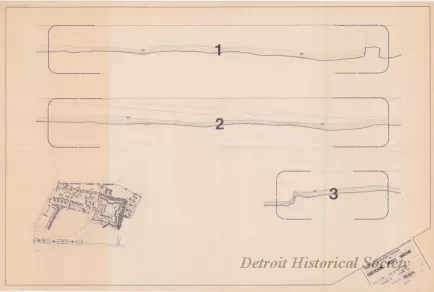
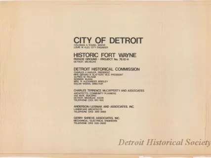
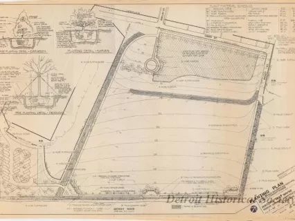
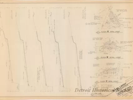
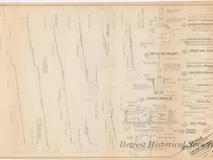
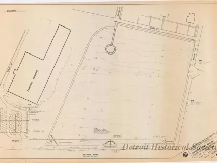
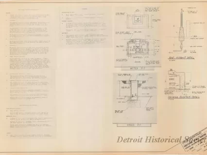
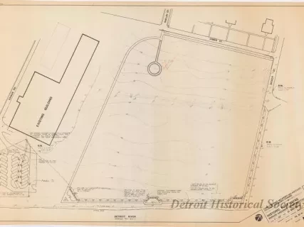
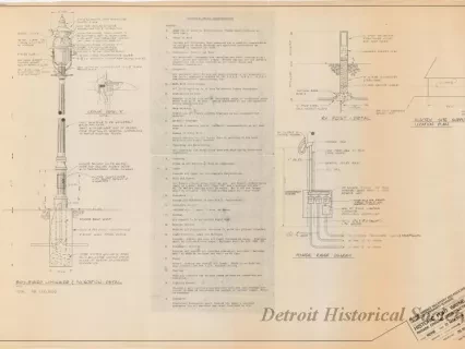
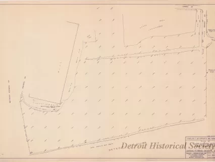
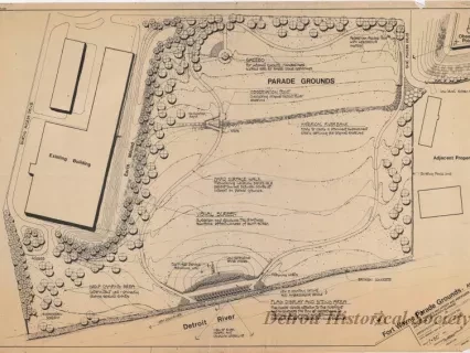
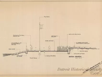
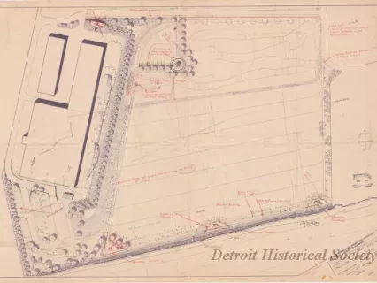
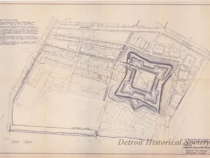
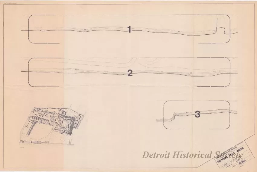
One blueprint entitled "Historic Fort Wayne." The drawing shows three plan views of the existing ground contours along the Detroit River shoreline adjacent to the parade ground area at Fort Wayne. A small drawing of the fort property in lower left corner of the plan sheet shows the locations of each of the three ground contour details. The title block in the lower right corner indicates that the plan was prepared by Charles Terrence McCafferty and Associates, Architects / Community Planners, at a scale of 1 inch = 20 feet and is dated October 22, 1979.
Request Image