2013.049.102
Blueprint
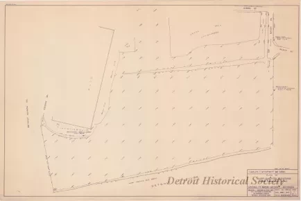
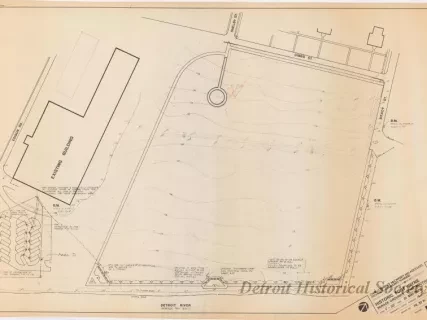
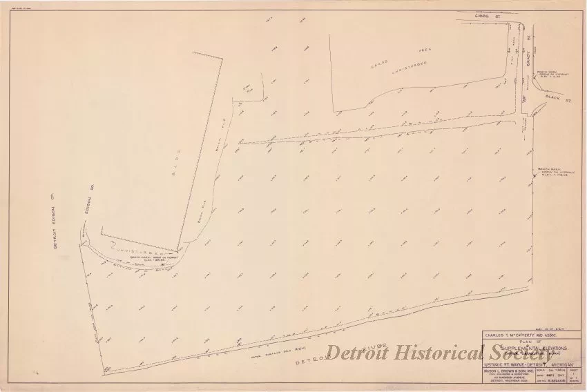
Plan of Supplemental Elevations (After Demolition Work)
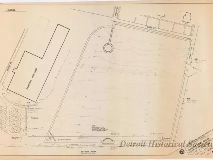
One blueprint entitled "Plan of Supplemental Elevations (After Demolition Work)." The drawing (sheet 1 of 1) shows a topographic survey of the parade ground area at Fort Wayne with existing ground elevations given on a 100-foot grid. Three benchmark elevations are noted on existing fire hydrants. The title block in the lower right corner indicates that the plan was prepared by Mason L. Brown & Son, Inc., Civil Engineers and Surveyors, for Charles Terrence McCafferty and Associates. The survey was drawn at a scale of 1 inch = 50 feet and is dated September, 1977.
Request Image