2014.004.268
Survey, Land
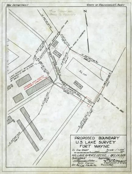
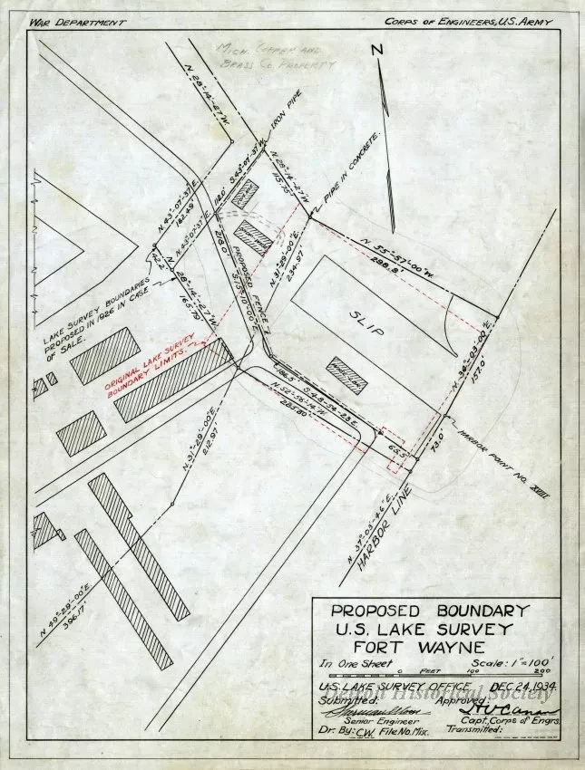
Proposed Boundary U.S. Lake Survey Fort Wayne
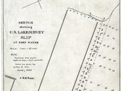
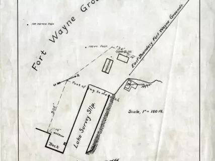
Land survey, "Proposed Boundary U.S. Lake Survey Fort Wayne." The survey is printed in black ink on linen. Text along the top border shows "War Department" and "Corps of Engineers, U.S. Army." The title block at bottom right shows the title, that the scale is 1" = 100', the date of December 24, 1934, and the signature of the Senior Engineer who submitted the survey and the Captain of the Corps of Engineers who approved the survey. The survey shows the southeastern section of Fort Wayne, including the harbor line, slip, original lake survey boundary limites, and proposed lake survey boundaries. The eastern tip of the Fort's star fortification can be seen at top left.
Request Image