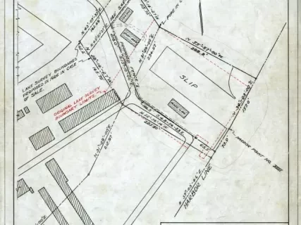
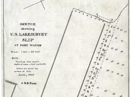
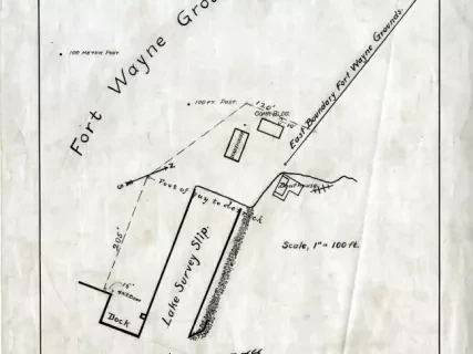
Survey, Land
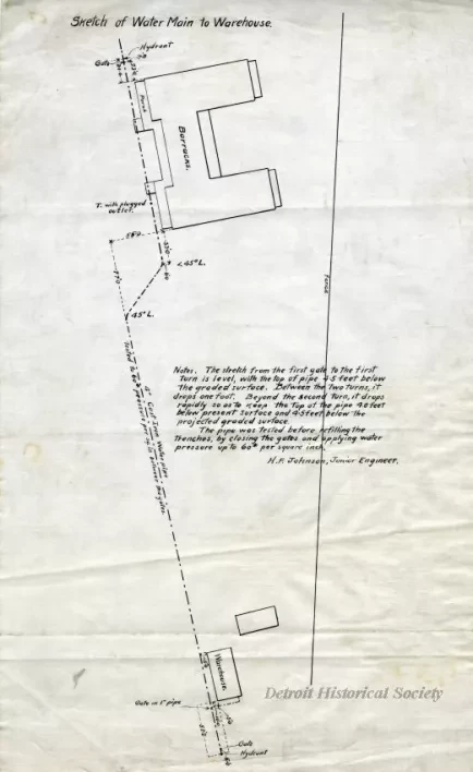
Sketch of Water Main to Warehouse
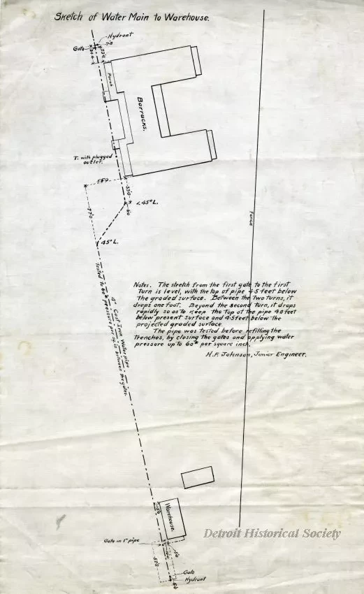
Land survey, "Sketch of Water Main to Warehouse." Printed in black ink on linen. The sketch shows the southeastern portion of the fort near the U.S. Lake Survey slip up to the barracks inside the star fortification. The barracks are shown at top and a warehouse is shown at bottom with a dashed line indicating the water main connecting the structures. Measurements, angles, and placements of hydrants and pipes are labeled along the water main. Text in the center reads as follows:
"Notes. The stretch from the first gate to the first turn is level, with the top of the pipe 4.5 feet below the graded surface. Between the two turns, it drops one foot. Beyond the second turn, it drops rapidly so as to keep the top of the pipe 4.0 feet below present surface and 4.5 feet below the projected graded surface.
The pipe was testing before refilling the trenches, by closing the gates and applying water pressure up to 60# per square inch.
H.F. Johnson, Junior Engineer."
