2014.004.269
Survey, Land
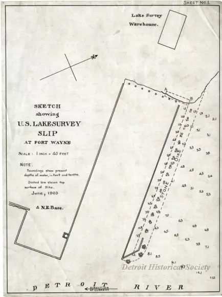
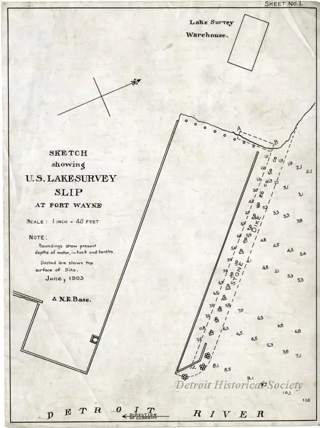
Sketch showing U.S. Lake Survey Slip at Fort Wayne
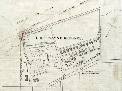
Land survey, "Sketch showing U.S. Lake Survey Slip at Fort Wayne." Printed in black ink on linen. Text at top right reads "Sheet No. 1." Text at center left shows the title, "Scale: 1 inch = 40 feet," "Note: Soundings show present depths of water, in feet and tenths," "Dashed line shows top surface of Dike," and a date of June, 1903. The survey shows the slip at the southeastern portion of Fort Wayne with a view to the northwest. A Lake Survey Warehouse is labeled at top right.
Request Image