You searched for "Corps of Topographical Engineers"
25 Results Found
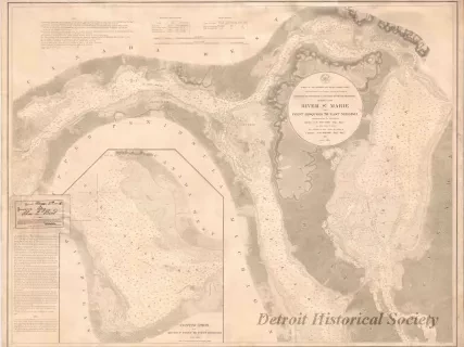
Chart, Navigational
W1954.012.009Archive
Chart No. 1 of River Ste. Marie from
Point Iroquois to East Neebish
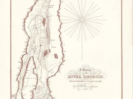
Chart, Navigational
2013.092.001Archive
A Survey of the River Detroit from Lake Erie to Lake St. Clair
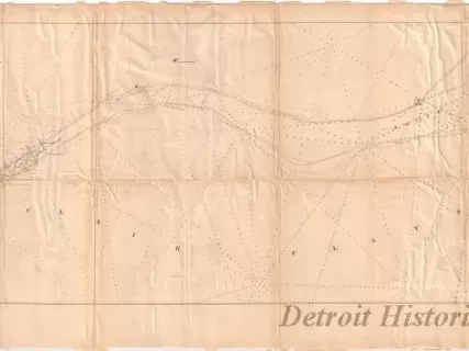
Chart, Navigational
1957.086.018Archive
Chart of St. Clair Flats
Showing the Positions of Light House & Beacon
Now in Course of Erection and the Channel Excavated in 1857& 1858
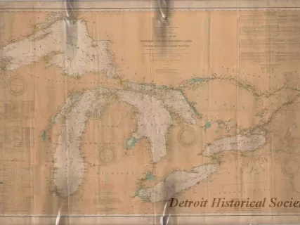
Chart, Navigational
2013.042.866Archive
General Chart of the Northern and Northwestern Lakes,
Including New York State Canals and Lake Champlain
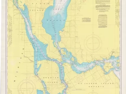
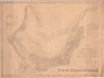
Chart, Navigational
2013.042.901Archive
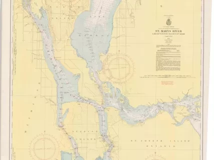
St. Mary's River,
Lake Munuscong to Sault Ste. Marie Including Lake George
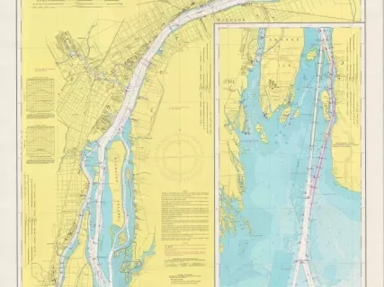
![Chart, Navigational - Map of the Delta of the St. Clair [River]](/sites/default/files/styles/430x323_1x/public/artifact-media/178/2013049341.jpg.webp?itok=-39sEgx5)
