You searched for "Sault Ste. Marie"
119 Results Found
Lithograph
1968.123.002Archive
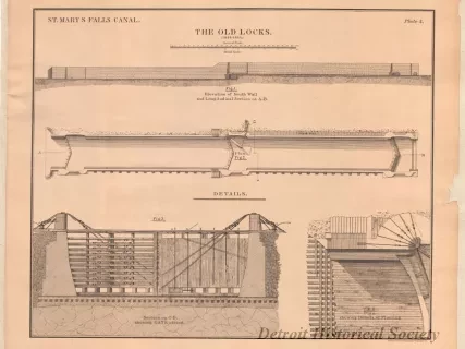
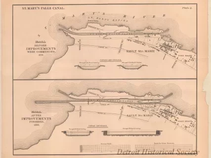
Description of Saint Mary's Falls Canal, Michigan, With Details of the Locks, Their Operating Machinery, and of the Movable Dam
Chart, Navigational
2013.042.901Archive
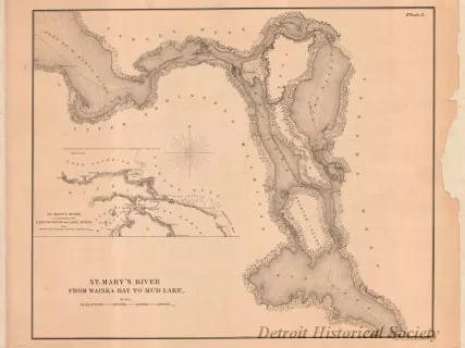
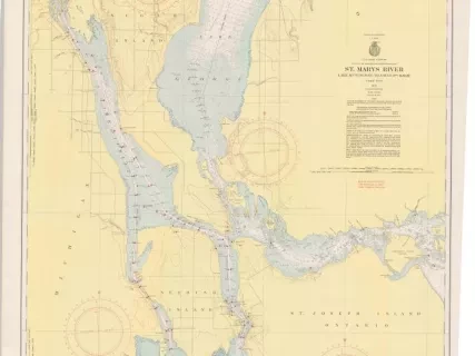
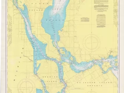
St. Mary's River,
Lake Munuscong to Sault Ste. Marie Including Lake George
Chart, Navigational
W1959.010.003Archive
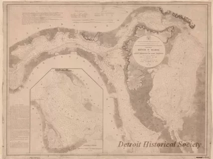
Chart No. 1 of River Ste. Marie from
Point Iroquois to East Neebish
Chart, Navigational
W1954.012.009Archive
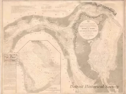
Chart No. 1 of River Ste. Marie from
Point Iroquois to East Neebish
Map
2013.042.868Archive
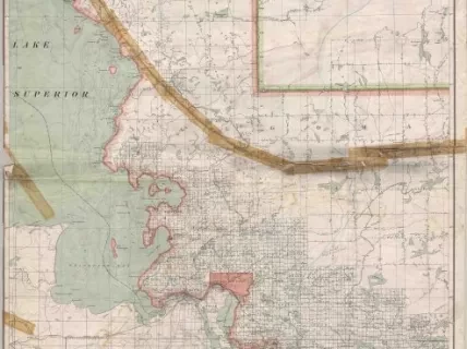
Ontario, Sault Ste. Marie Sheet -
Portions of Algoma, Sudbury, and Manitoulin Districts
