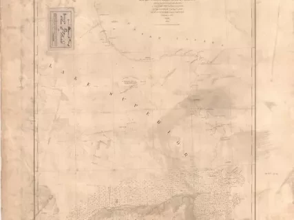
You searched for "Survey of the Northern and Northwestern Lakes"
30 Results Found
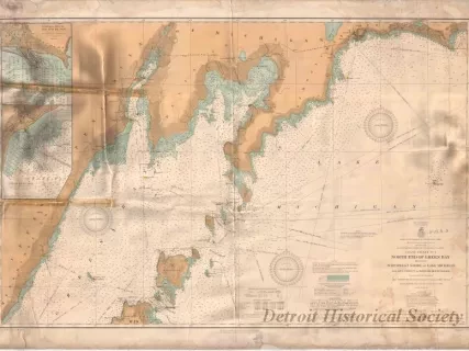
Chart, Navigational
W1956.003.003Archive
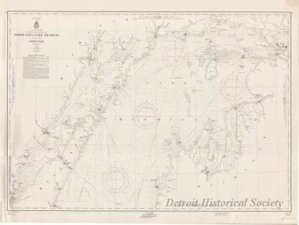
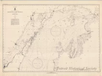
Coast Chart No. 1,
North End of Green Bay Including Northwest Shore of Lake Michigan
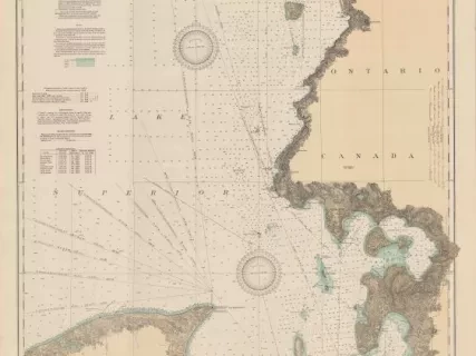
Chart, Navigational
2013.042.917Archive
East End of Lake Superior - From Cape Gargantua. Ont., to Mouth of Big Two Hearted River, Mich., Including Whitefish Bay and Head of St. Mary's River
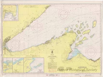
Chart, Navigational
2013.042.898Archive
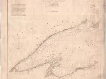
West End of Lake Superior,
Little Girls Point, Mich., to Silver Bay, Minn.,
Including the Apostle Islands
