You searched for "Maps"
716 Results Found
Report
2014.097.100Archive
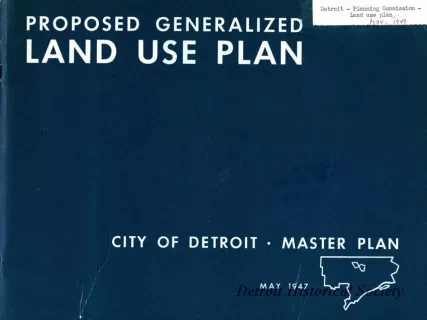
Proposed Generalized Land Use Plan,
City of Detroit - A Master Plan Report, No. 5 of a Series
Map
2014.002.765Archive
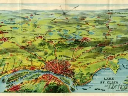
Detroit United Lines. Rides by Trolley. Fast Electric Service between the Principal Cities of Michigan and connecting at Toledo with Ohio and Indiana Points
Map
2014.002.509Archive
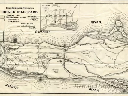
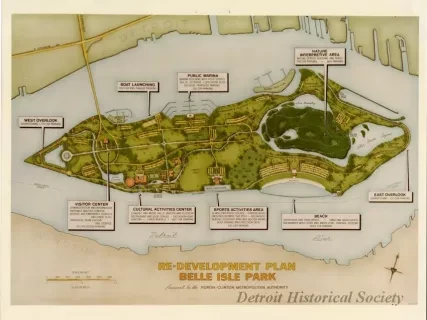
Re-Development Plan, Belle Isle Park, Prepared by the Huron-Clinton Metropolitan Authority
![Blueprint - Plan Topographique du Détroit et des eaux qui forment la jonction du Lac Erié avec le Lac St. Clair
[Topographic plan of Detroit and the waters which form the junction of Lake Erie with Lake St. Clair]](/sites/default/files/styles/430x323_1x/public/artifact-media/182/2013049002.jpg.webp?h=380d14e7&itok=Y-lgr0_P)
Blueprint
2013.049.002Archive
Plan Topographique du Détroit et des eaux qui forment la jonction du Lac Erié avec le Lac St. Clair
[Topographic plan of Detroit and the waters which form the junction of Lake Erie with Lake St. Clair]
Map
1953.193.027Archive
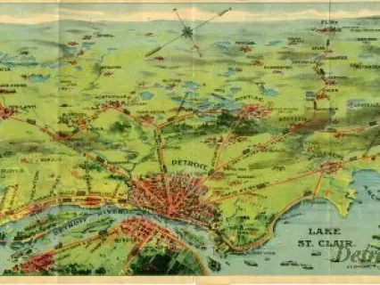
Trolley Rides in City and Country to Charming Rural Scenery, Beautiful Lakes, and Majestic Rivers via Detroit United Railway
