You searched for "Army Corps of Engineers"
178 Results Found
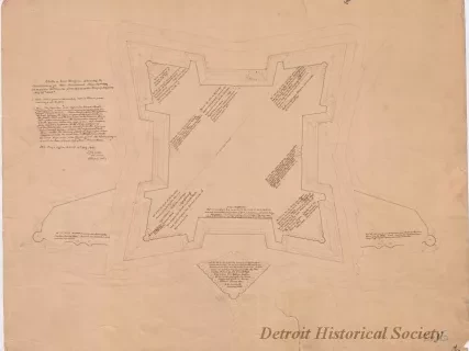
Drawing, Architectural
2013.049.165Archive
Sketch of Fort Wayne,
Showing the Condition of its Non-Armament, June 30th, 1869, in Response to Circular from Office of the Chief of Engineers, May 25th, 1869.
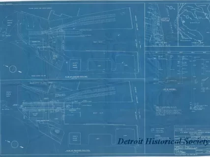
Blueprint
2013.049.125Archive
Detroit Boat Yard -
Modification of Existing Facilities;
Plans, Location & Vicinity Maps
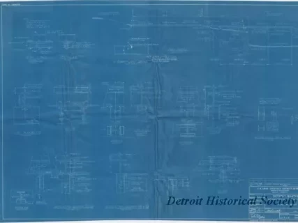
Blueprint
2013.049.128Archive
Detroit Boat Yard -
Modification of Existing Facilities;
Profile and Details
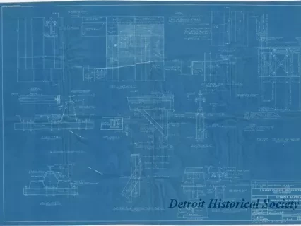
Blueprint
2013.049.127Archive
Detroit Boat Yard -
Modification of Existing Facilities;
Sections and Details
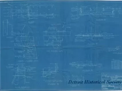
Blueprint
2013.049.126Archive
Detroit Boat Yard -
Modification of Existing Facilities;
Plan, Elevation, Sections and Details
![Map - Tracing from a Map of Springwells by Lieuts. Macomb & Warner, T.E. [Topographical Engineers], 1841, with the Addition of Outlines of Fort Wayne and Public Grounds, Sept., 1865.](/sites/default/files/styles/430x323_1x/public/artifact-media/168/2013042418.jpg.webp?h=6919c4ee&itok=K5gn6P6-)
Map
2013.042.418Archive
Tracing from a Map of Springwells by Lieuts. Macomb & Warner, T.E. [Topographical Engineers], 1841, with the Addition of Outlines of Fort Wayne and Public Grounds, Sept., 1865.
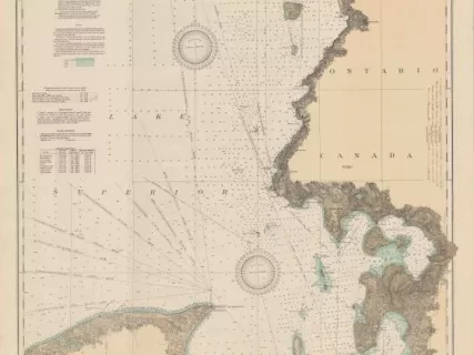
Chart, Navigational
2013.042.917Archive
East End of Lake Superior - From Cape Gargantua. Ont., to Mouth of Big Two Hearted River, Mich., Including Whitefish Bay and Head of St. Mary's River
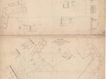
Drawing, Architectural
2013.049.166Archive
No. 4, Fort Wayne,
Plan & Sections of a Flank & Adjoining Portion of a Curtain & Face;
Showing the Intended Masonry of Scarp and Flank Casemates for All the Work Except the East Bastion
Blueprint
2013.049.121Archive
Detroit Boat Yard -
Boatshed, Paving and Trackwork,
Site Plan, Profile & Borings
