You searched for "NOAA"
28 Results Found
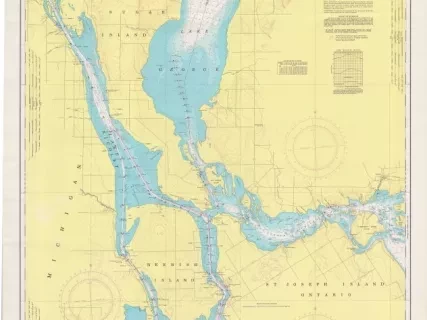
Chart, Navigational
2013.042.901Archive
St. Mary's River,
Lake Munuscong to Sault Ste. Marie Including Lake George
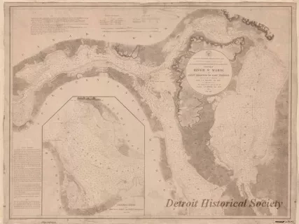
Chart, Navigational
W1959.010.003Archive
Chart No. 1 of River Ste. Marie from
Point Iroquois to East Neebish
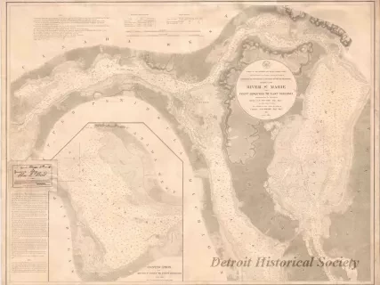
Chart, Navigational
W1954.012.009Archive
Chart No. 1 of River Ste. Marie from
Point Iroquois to East Neebish
![Map - Plan Topographique du Détroit et des eaux qui forment la jonction du Lac Erié avec le Lac St. Clair
[Topographic plan of Detroit and the waters which form the junction of Lake Erie with Lake St. Clair]](/sites/default/files/styles/430x323_1x/public/artifact-media/221/2014004077.JPG.webp?itok=6_zxz_O6)
Map
2014.004.077Archive
Plan Topographique du Détroit et des eaux qui forment la jonction du Lac Erié avec le Lac St. Clair
[Topographic plan of Detroit and the waters which form the junction of Lake Erie with Lake St. Clair]
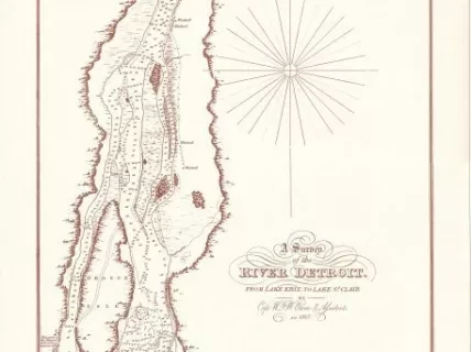
Chart, Navigational
2013.092.001Archive
A Survey of the River Detroit from Lake Erie to Lake St. Clair
![Blueprint - Plan Topographique du Détroit et des eaux qui forment la jonction du Lac Erié avec le Lac St. Clair
[Topographic plan of Detroit and the waters which form the junction of Lake Erie with Lake St. Clair]](/sites/default/files/styles/430x323_1x/public/artifact-media/182/2013049002.jpg.webp?itok=Y-lgr0_P)
Blueprint
2013.049.002Archive
Plan Topographique du Détroit et des eaux qui forment la jonction du Lac Erié avec le Lac St. Clair
[Topographic plan of Detroit and the waters which form the junction of Lake Erie with Lake St. Clair]
