You searched for "Water Depths"
62 Results Found
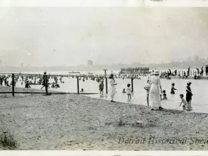
Print, Photographic
2014.002.377Photo
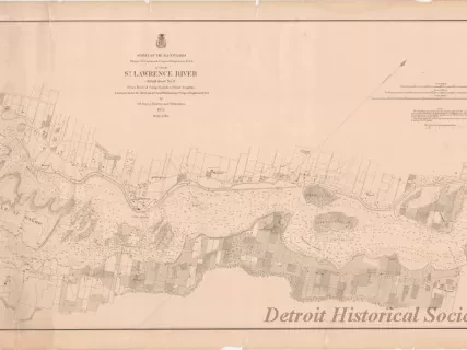
Chart, Navigational
2013.049.240Archive
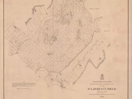
St. Lawrence River, Detail Sheet No. 6,
From Galop Rapids to Point Iroquois
Chart, Navigational
2013.042.917Archive
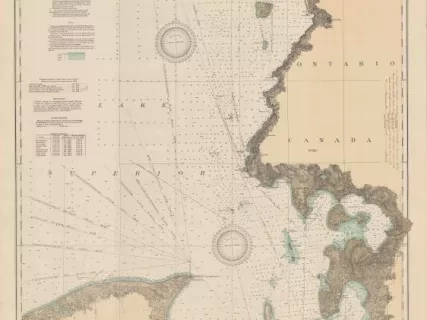
East End of Lake Superior - From Cape Gargantua. Ont., to Mouth of Big Two Hearted River, Mich., Including Whitefish Bay and Head of St. Mary's River
Chart, Navigational
1957.086.018Archive
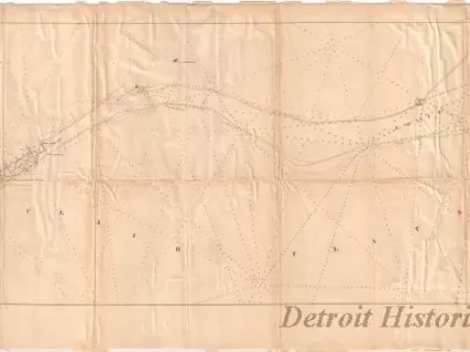
Chart of St. Clair Flats
Showing the Positions of Light House & Beacon
Now in Course of Erection and the Channel Excavated in 1857& 1858
Chart, Navigational
1957.086.016Archive
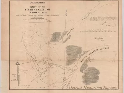
Re-Examination of the Outlet of the South Channel of the St. Clair River
Chart, Navigational
W1956.003.003Archive
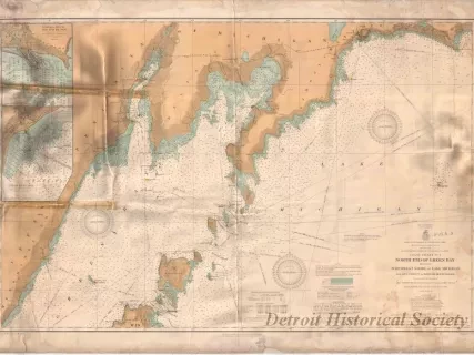
Coast Chart No. 1,
North End of Green Bay Including Northwest Shore of Lake Michigan
