You searched for "East River"
331 Results Found
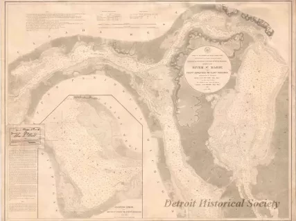
Chart, Navigational
W1959.010.003Archive
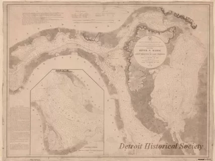
Chart No. 1 of River Ste. Marie from
Point Iroquois to East Neebish
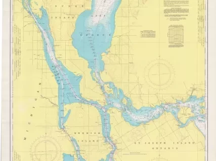
Chart, Navigational
W1954.012.009Archive
Chart No. 1 of River Ste. Marie from
Point Iroquois to East Neebish
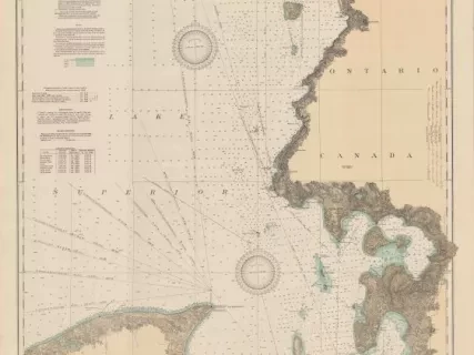
Chart, Navigational
2013.042.901Archive
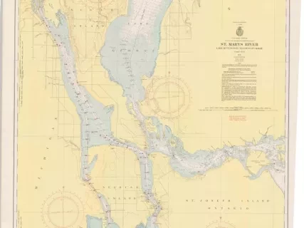
St. Mary's River,
Lake Munuscong to Sault Ste. Marie Including Lake George
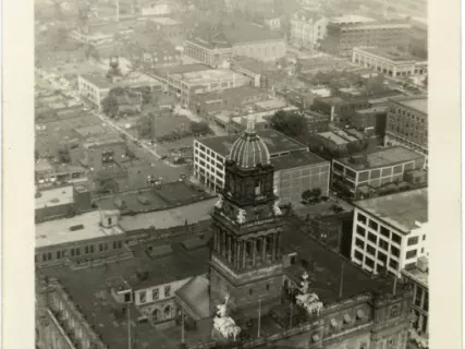
Chart, Navigational
2013.042.917Archive
East End of Lake Superior - From Cape Gargantua. Ont., to Mouth of Big Two Hearted River, Mich., Including Whitefish Bay and Head of St. Mary's River
Print, Photographic
2012.044.126Photo
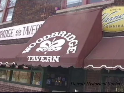
U-Matic
2015.008.218Archive
Tape #1
Media Day Footage
-Cultural Center - Historical, MAAH, DIA, Children's, Science
-Woodward restaurants and theaters
-Warehouse District
-Clubs TABOO, Rhino, Riverplace
-Marina, boat, Detroit River
-Park - St. Aubin
-Fox at Daylight
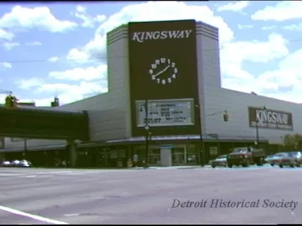
U-Matic
2015.008.250Archive
Master 6/13/85
Tape #1
Neighborhood Shopping Days
-East Warren/Outer Drive
-Gratiot/7 Mile
-Grandgreen
Return to: Detroit Dept. of Public Information
608 City Country Bldg.
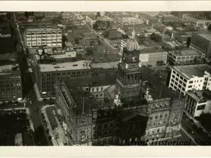
Print, Photographic
2012.044.125Photo
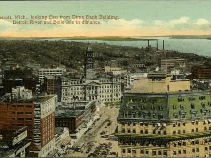
Postcard
2012.045.069Archive
Detroit, Mich., looking East from Dime Bank Building, Detroit River and Belle Isle in distance.
