Drawing
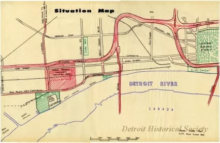
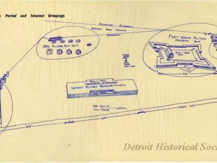
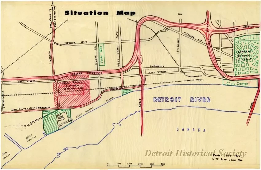
Drawing on paper, mounted on board, depicting a situation map of several proposed urban renewal projects in the mid-1960s. Text on the lower right corner of the map states that the information was taken "from June 1964 City Plan Comm Map." The map shows a portion of southwest Detroit, bounded on the west by Springwells Street, on the east by the central business district, on the north by Vernor Highway, and on the south by the Detroit River. Among the proposed changes on the map are a rerouting of West Jefferson Avenue near Fort Wayne and a proposed green triangle in its place, urban renewal in the southwest industrial area, Clark Park, Riverview Park, and the Civic Center. The map also indicates several railways, as well as areas of heavy industry along the river near the Fort Wayne park.
Request Image